Anaga Mountains Hiking Guide: Tenerife's Prehistoric Laurel Forest
I Didn't Expect Tenerife Outdoor Activities and Tours to Feel Like This
I grew up in La Laguna, fifteen minutes from the Anaga trailhead. My grandfather used to take me up there before sunrise, when the fog sat low in the valleys and the laurel trees looked like they were breathing. I've walked these paths maybe three hundred times. And still, every time I step into the Monteverde forest, I get the same feeling: this isn't just a hike. It's a walk through a time capsule.
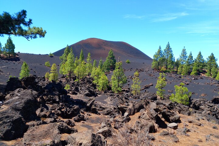
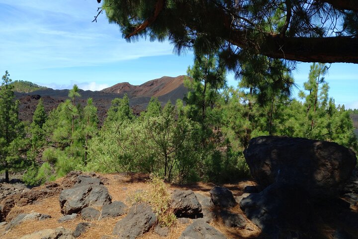
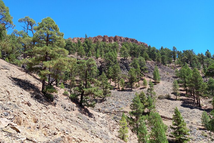
The Anaga Mountains were declared a UNESCO Biosphere Reserve in 2015, but that's just paperwork. What matters is the forest itself, an ancient laurel ecosystem that predates the Mediterranean. The trees are draped in moss, the air smells of damp earth and eucalyptus, and the light filters through the canopy like it's underwater. It genuinely looks like a scene from Princess Mononoke. I've had hikers stop mid-trail and say, "This can't be real."
But the reality is that Anaga is also tricky. The microclimate here is brutal. Dense fog and drizzle can roll in within minutes, even when the south coast of Tenerife is blazing sun. People get lost every year because they underestimate the cloud layer. I've pulled more than a few lost tourists off the trail near El Pijaral, shivering in t-shirts they thought were fine for a "sunny island" hike.
That's why I'm writing this guide. Not to sell you a dream. To tell you exactly what to expect, which trails are worth your time, and how to actually access the "enchanted forest" you've seen on Instagram.
The Tour That Saved My Trip
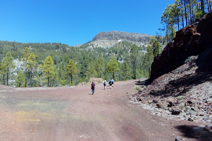
When friends visit from the mainland, I always take them on the Anaga Mountains hiking tour that includes the El Pijaral permit. The permit system is a headache, only 25 people per day, and you have to apply at the Anaga Rural Park office in person. Most tourists don't know that. They show up at the trailhead, see the locked gate, and have to turn around. I booked this tour for my cousin last year, and the guide handled the permit, the parking, and even brought proper rain gear. It saved her trip. The tour starts at 8 AM from La Laguna, which means you're on the trail before the tour buses arrive. That's the key.
Anaga Mountains Hiking Tour with El Pijaral Permit
Pros: Includes the permit (saves you the office visit), small group max 8, guide knows the fog patterns. Cons: Not cheap at €75, and you need to be at the meeting point by 7:45 AM sharp.
Book on Viator →The Moments That Made Anaga memorable
I've guided dozens of groups through Anaga, but one moment stands out. Last November, I took a solo traveler from Berlin up the Sendero de los Sentidos, the "Trail of the Senses." It's a short loop near the village of Cruz del Carmen, only 1.5 km, but it's designed for you to touch the moss, smell the laurel leaves, and listen to the birds. The woman stopped at a clearing where the fog had parted, revealing the entire valley of Afur below. She started crying. Not because it was "impressive", I hate that word, but because she said it felt like stepping into a dream she'd had as a child. That's what Anaga does. It bypasses your rational brain.
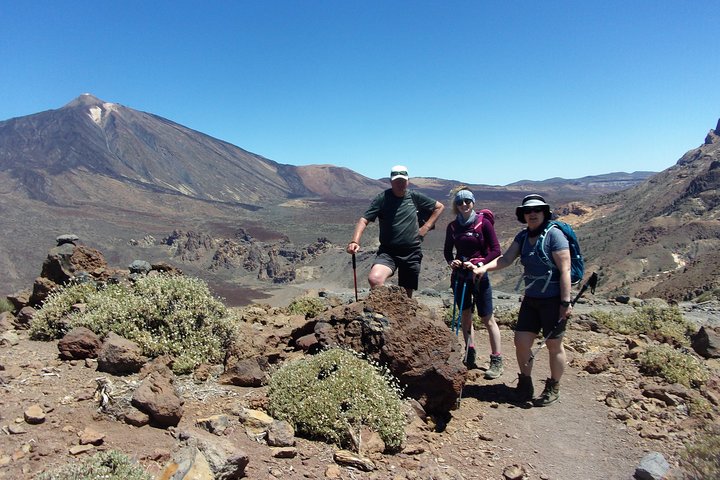
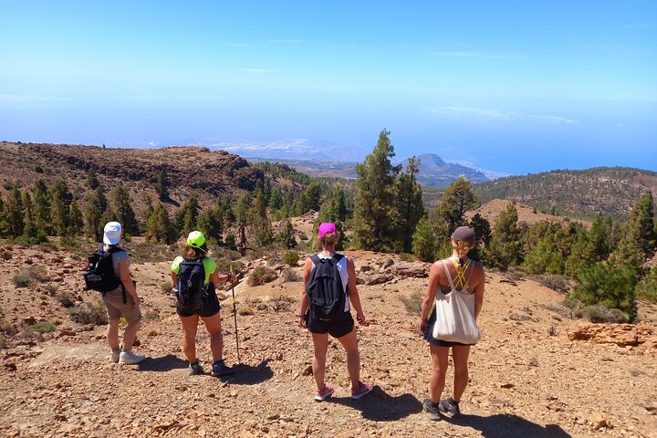
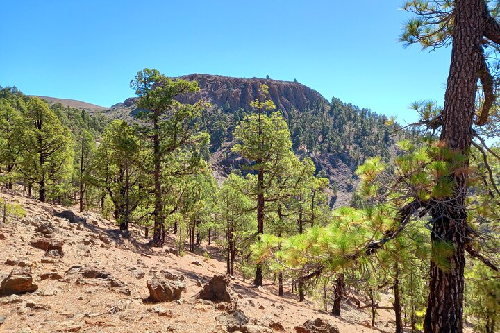
The most dramatic trail, though, is the PR-TF 5 from Chamorga to El Pijaral. It's a 10 km out-and-back that climbs through the densest part of the laurel forest. The trail is narrow, often muddy, and the roots form natural stairs. You'll pass through tunnels of vegetation where the canopy closes overhead. At the end, you reach a viewpoint called Roque de los Pinos, where on a clear day you can see the entire north coast. But "clear day" in Anaga is rare. I've done this hike in full fog and still found it atmospheric, the forest feels more alive when you can't see twenty metres ahead. This trail isn't for anyone with a fear of exposed edges, the section near Roque de los Pinos has steep drop-offs with no guardrails.
A lesser-known spot Worth Exploreing
If you want something quieter, the trail to Playa de Benijo is my secret. It's a 4 km descent from the village of El Draguillo down to a black sand beach with massive rock formations. Most tourists stop at the mirador above the beach and take photos. They don't walk the path down. I've had the entire beach to myself on a Saturday afternoon. The swim is cold, the Atlantic doesn't mess around, but the contrast between the green mountains and the black sand is impressive. The trail is steep and loose in sections, so wear proper shoes. I use my Anaga coast hiking tour for this route because the guide knows the tide schedules and when the beach is safe. Skip this hike if you have bad knees, the 4 km descent is relentless and there's no flat section until the beach.
Photo Gallery
Anaga Coast Hike to Playa de Benijo
Pros: Remote beach access, small group, includes a picnic with local cheese and mojo. Cons: The descent is tough on knees, and the beach has no facilities.
Book on Viator →What Really Surprised Me About Anaga
Two things. First, the parking situation is worse than Teide. The main trailhead at Cruz del Carmen has maybe 30 spaces. By 9 AM on a weekend, it's full. People park on the narrow road shoulders, blocking the bus route, and the Guardia Civil will fine you. I've seen it happen. Second, the fog is not a weather problem, it's a navigation problem. I've had hikers with GPS apps get lost because the cloud layer interferes with phone signals. The trails are well-marked with yellow and white stripes, but in thick fog, you can miss a turn. I always carry a physical map and a whistle. Yes, a whistle. If you get disoriented, stay put and whistle. The sound carries through the forest.
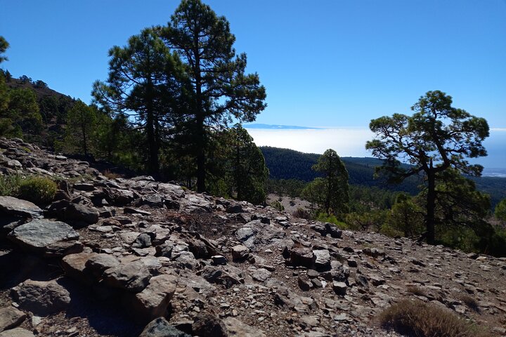
Also surprising: the temperature drop. Anaga sits between 200 and 1,000 metres elevation. On a sunny February day, the coast might be 22°C, but up in the forest, it's 12°C with wind chill. I've seen people hiking in shorts and flip-flops. They don't last an hour.
Alejandro Vega's Insider Tips for Getting It Right
- Start before 8 AM. The parking fills, the fog lifts by late morning, and the light is better for photos. I aim for 7:30 at Cruz del Carmen.
- Get the El Pijaral permit in advance. The office is in San Andrés, open Monday to Friday 9 AM to 2 PM. Bring your passport. Or book a tour that includes it, it's less hassle.
- Check the Anaga webcam before you drive. If the fog is thick at the viewpoint, it'll be worse on the trail. Wait for a clearer day.
- Wear layers. I use a merino base layer, a fleece, and a waterproof shell. Even in summer. The drizzle is constant.
- Bring more water than you think. There are no fountains on the trails. I carry 2 litres for a half-day hike.
- Don't rely on your phone for navigation. Download the map offline, but also carry a physical one. The Anaga Rural Park office gives them for free.
- Respect the fog. If visibility drops below 10 metres, turn back. The forest is beautiful but unforgiving.
For more general hiking advice across Tenerife, see my complete hiking guide. And if you're planning a trip to Teide as well, check my Teide National Park guide for the cable car and summit permits.
What I Wish I'd Known Before I Went
I've been hiking Anaga my whole life, but I still make mistakes. Here's what I wish someone had told me:
- The road to Anaga is narrow and winding. From La Laguna, it's 20 km of hairpin turns. If you get carsick, take a motion sickness pill beforehand. I've had passengers throw up before we even reached the trailhead.
- The "enchanted forest" Instagram spots are mostly in El Pijaral. That green, mossy tunn el you've seen? That's the Sendero El Pijaral, and it's only accessible with the permit. Without it, you'll see beautiful forest, but not that forest.
- You don't need hiking boots for the easy trails. The Sendero de los Sentidos and the path to the Cruz del Carmen viewpoint are paved. Trail runners or sturdy trainers are fine. But for El Pijaral or Benijo, yes, boots are necessary.
- The best time of year is late autumn. November through January has the most dramatic fog and the greenest moss. Summer is drier, and the forest loses some of its mystery.
- There are no facilities on the trails. No bathrooms, no cafes, no water fountains. The only toilets are at the Cruz del Carmen visitor centre, and they close at 4 PM. Plan accordingly.
- If you get lost, stay calm and listen for the ocean. The north coast is loud. If you can hear waves, you're heading downhill towards the villages. If you hear wind in the trees, you're probably on a ridge. I've used this trick twice to find my way back in fog.
Anaga is not a theme park. It's a real, living forest that demands respect. But if you prepare properly, it will give you something no other place in Tenerife can: the feeling of walking through the world as it was ten million years ago.
Frequently Asked Questions
Do I need a permit to hike in Anaga Mountains?
Only for the Sendero El Pijaral trail. It's limited to 25 people per day, free, but you must apply in person at the Anaga Rural Park office in San Andrés. Other trails like Sendero de los Sentidos and PR-TF 5 require no permit.
How do I get to the Anaga Mountains from Santa Cruz?
Take the TF-12 road from La Laguna towards Cruz del Carmen. It's about 30 minutes by car. There's a bus (line 947) from La Laguna to Cruz del Carmen, but it only runs a few times a day. I recommend driving or booking a tour.
What's the best trail for beginners in Anaga?
The Sendero de los Sentidos at Cruz del Carmen is a 1.5 km loop on paved paths with interpretive signs. It's flat, easy, and gives you a taste of the laurel forest without the steep climbs. Great for families or casual walkers.
Is Anaga safe to hike alone?
Yes, but with caution. The trails are well-marked, but fog can reduce visibility to near zero. I always carry a map, a whistle, and a headlamp. Let someone know your route and expected return time. Don't rely on your phone, signal is patchy.
What should I wear for hiking in Anaga?
Layers are essential. Base layer, fleece, waterproof jacket. Sturdy shoes with good grip. The trails can be muddy and slippery even in dry weather due to the constant humidity. Avoid cotton, it stays wet and cold.
When is the best time of year to visit Anaga?
Late autumn (November to January) offers the most dramatic fog and the greenest moss. Spring (March to May) has wildflowers and milder temperatures. Summer is drier and less atmospheric. Avoid August if you dislike crowds.